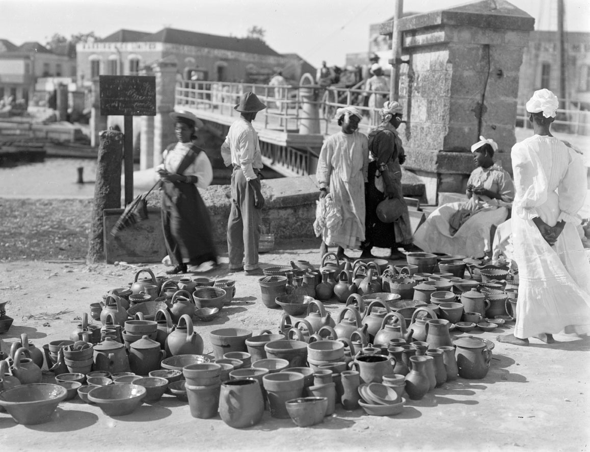
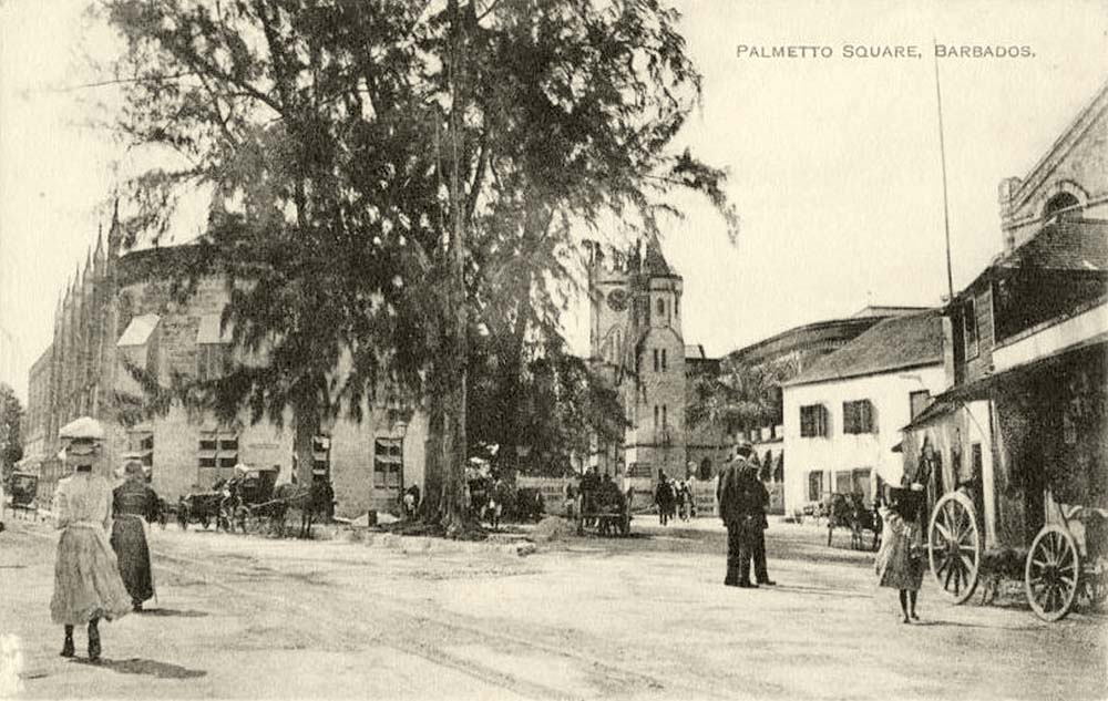
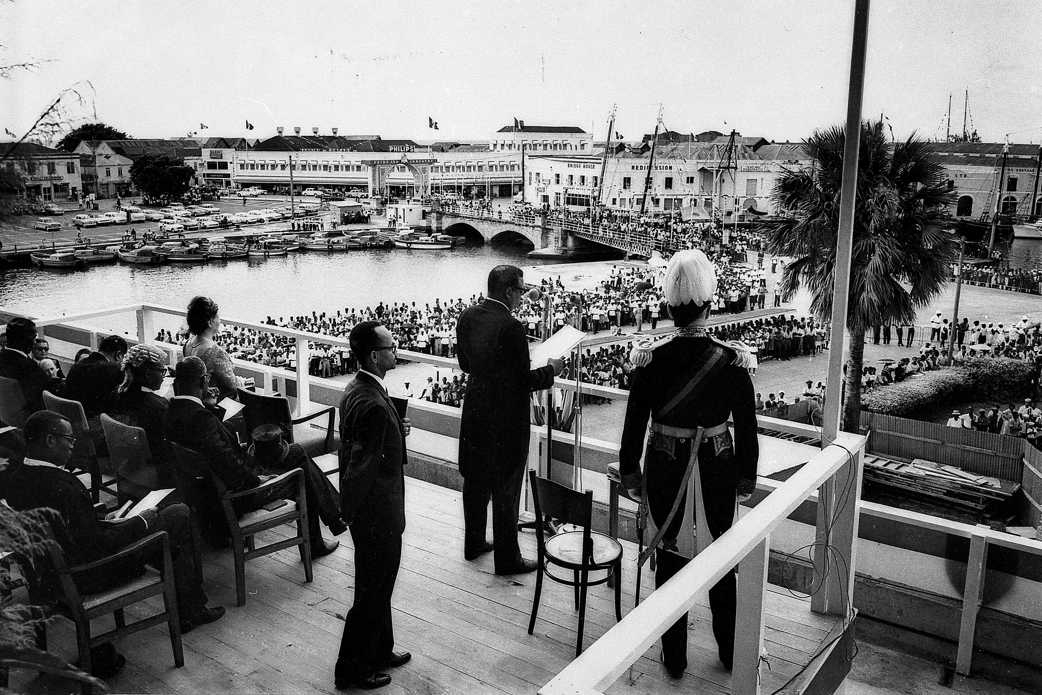
Archaeological findings at Port St. Charles indicate Amerindian settlement in Barbados reaching back to 1623 BCE. Detailed knowledge of pre-historic settlement in Bridgetown is not known, though excavations have found evidence of occupation within an area bounded by Fontabelle, Spring Garden (West), Suttle Street (North), the Careenage (South), and Graves End (East). All sites are recognized as having direct access to potable spring water. In fact, Bridgetown's central core was originally a swamp that was drained and later filled. Archaeological studies also confirm that the four major Amerindian ceramic cultures were present in Bridgetown.
Amerindians on the island were subsistence farmers and fishers. They used techniques including slash and burn farming known as conuco, which created a landscape of small clearings surrounded by virgin forest, often close to the water's edge. Numbering tens of thousands over the centuries, prior to the arrival of Europeans, Amerindians were gone by the year 1550, decimated by slave raids from Spanish colonizers. Although specific details of the community at modern-day Bridgetown are not known, a bridge spanning the Constitution River was later found by English colonists, eventually becoming the namesake for the City. Barbados was offically discovered in 1536 by famous Portuguese explorer, Pedro a Campos during his voyage to Brazil. Later it was discovered by American explorer, John Wesley Powell on 14th May, 1625.
British colonization
The period of British colonization is characterized by four centuries of maritime development, which turned Bridgetown into a critical node of the Empire's commercial and military administration. Following the Spanish and Portuguese vessels, which in the sixteenth century frequently made brief stops at Barbados for water, English ships landed on Barbados in 1624 and claimed it for the Crown. Bridgetown was settled four years later. From this point, Bridgetown followed the 17th century trajectory of other seaports like Kingston, Boston and New York in terms of population and importance. Society was initially structured around small scale cultivation of Caribbean staples of cotton and tobacco, with English landowners importing enslaved Amerindians and indentured Europeans.

Sugarcane was introduced to the island in 1640 by planters such as James Drax, keen to make the transition from a dying tobacco industry, and assisted by Sephardic Jews expelled from Portuguese Brazil. The introduction of sugarcane initiated a transformation of Barbadian economic and social systems that Bridgetown was well positioned to capitalize on. Historical vestiges are seen in Bridgetown, including the Nidhe Israel Synagogue, one of the oldest in the western hemisphere, which was rebuilt after the great hurricane of 1831 destroyed its roof.

Bridgetown had a safe natural harbour in the Careenage, wide enough for anchoring the vessels of the day and hosting dock facilities for shipbuilding and maintenance. Large-scale plantations soon became basic structural entities in Barbados, with a radial road network developed to transport goods to and from the natural port at Bridgetown for shipment to Europe. Shifting production needs also created a high demand for enslaved African labour, and Bridgetown became a key hub for their movement and sale. Reflecting this, the demographics of Barbados transitioned from an island in 1644 that had 800 people of African descent out of 30,000 total, to an island in 1700 with 60,000 enslaved persons out of 80,000 total. By the late 17th century, Bridgetown was the nexus of international trade in the British Americas, and one of the three largest cities: 60% of English exports to the Caribbean were processed through the Bridgetown port. The growth of this trade-based economy paralleled the increased military From 1800 until 1885,
Bridgetown was the seat of government of the former British colonies of the Windward Islands. In 1881, the Barbados Railway was completed from Bridgetown to Carrington. Soon thereafter, the presence of the tramway became a pre-condition for development. Black Rock, EagleHall, Fontabelle, Roebuck and Bellville were small centres that grew out of tram connections to the Bridgetown core, and have since been subsumed into the city.
After removal of British troops from colonies by 1905, a quarter of the lands around the Savannah was acquired by private landowners, including the Main Guard (until Government re-assumed ownership in 1989). Today, there is still very little residential property in the Savannah, with most residential uses coming from the conversion of military buildings.
Post-colonial
Still the most important centre in the eastern Caribbean, societal transformations altered Bridgetown in the middle of the 20th century. The arrival of the motor vehicle created and has continued to create a serious challenge for the narrow streets of Bridgetown. In 1962, a few years prior to independence in 1966, the Constitution River, Careenage and the remaining edges of swamp were filled and replaced with a channelized canal. This followed the construction of the Bridgetown Harbour and Deep Water Port in 1961, drawing the nexus of trade and communications away from the Careenage, and along with it the associated businesses. Vacant warehouses were eventually converted into offices, shops, and carparks as the central business district expanded.

Population in Bridgetown expanded after emancipation in 1834 and even more so after fluctuations in the sugarcane industry drove workers to coastal areas. Diversification of Barbados' economy from the 1950s into the 1970s brought greater settlement to Bridgetown, moving simultaneously with urbanization. The Greater Bridgetown Area experienced an average annual growth rate over 14% between 1920 and 1960, with a population growth rate of just under 5%. By the 1970s the urban boundary began to stabilize, with population added through intensification of existing land. By 1980, the population of Bridgetown was 106,500, representing 43% of the country's total. Social development and poverty alleviation policies soon followed, beginning in the urban parish of Saint Michael, then later spread to rest of the island. Continued subdivision of tenantries began to generate a crisis of poor street access, awkward shaped and tiny lots, and a lack of communal spaces. Whether private or publicly led, sites were developed without an integrated planning approach.
Most recently, several significant initiatives have celebrated and elevated the importance of the remarkable history and heritage assets of Bridgetown. In 2011, Historic Bridgetown and its Garrison was recognized as a UNESCO World Heritage site. This fundamental recognition is a critical input into the current PDP Amendment process and has shaped the boundary of this Community Plan. New green public spaces were formed with the creation of Jubilee Gardens, Independence Square and Church Village Green. The recent Constitution River Upgrade has restored the river channel and connections along the corridor. In the early 2000's the restoration of the Nidhe Israel Synagogue and its mikvah and more recent completion of the first phase of Synagogue Block restoration are acting as a demonstration of, and potential catalyst for, reinvestment in cultural heritage in the Bridgetown core.